Day 1: to Mount Cook
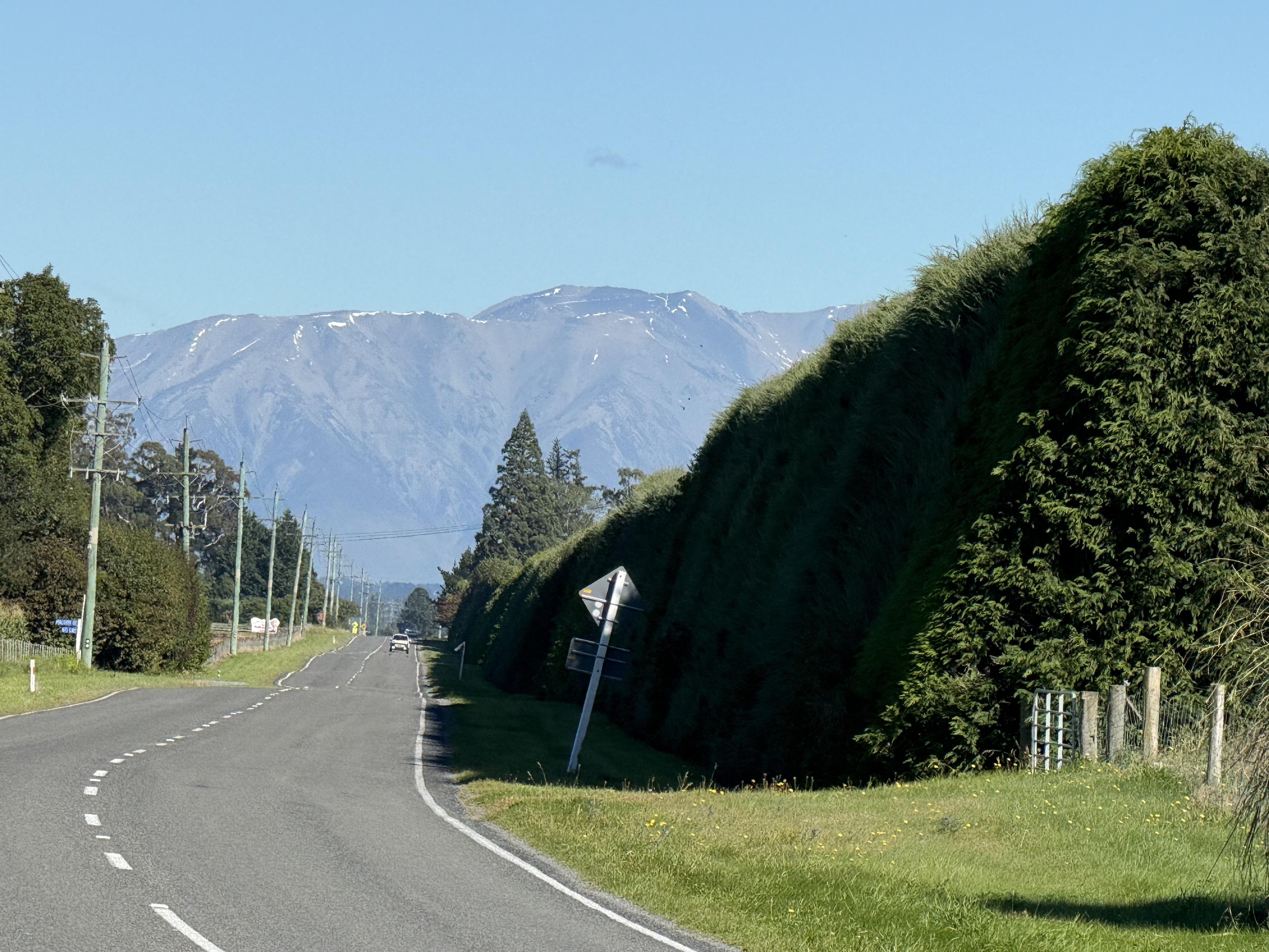
Today we headed out with all our luggage stored in the panniers on our motorcycles. If you look at the map above you see a long relatively straight road. It goes through incredibly well maintained farms. An interesting feature are tall hedges of trees around all the fields. These are wind breaks. They are often 40 to 50 or more feet tall. They are also usually trimmed way up. We would ride along the road with a tall hedge beside us. Here is a picture of a hedge. They were generally taller than this one.
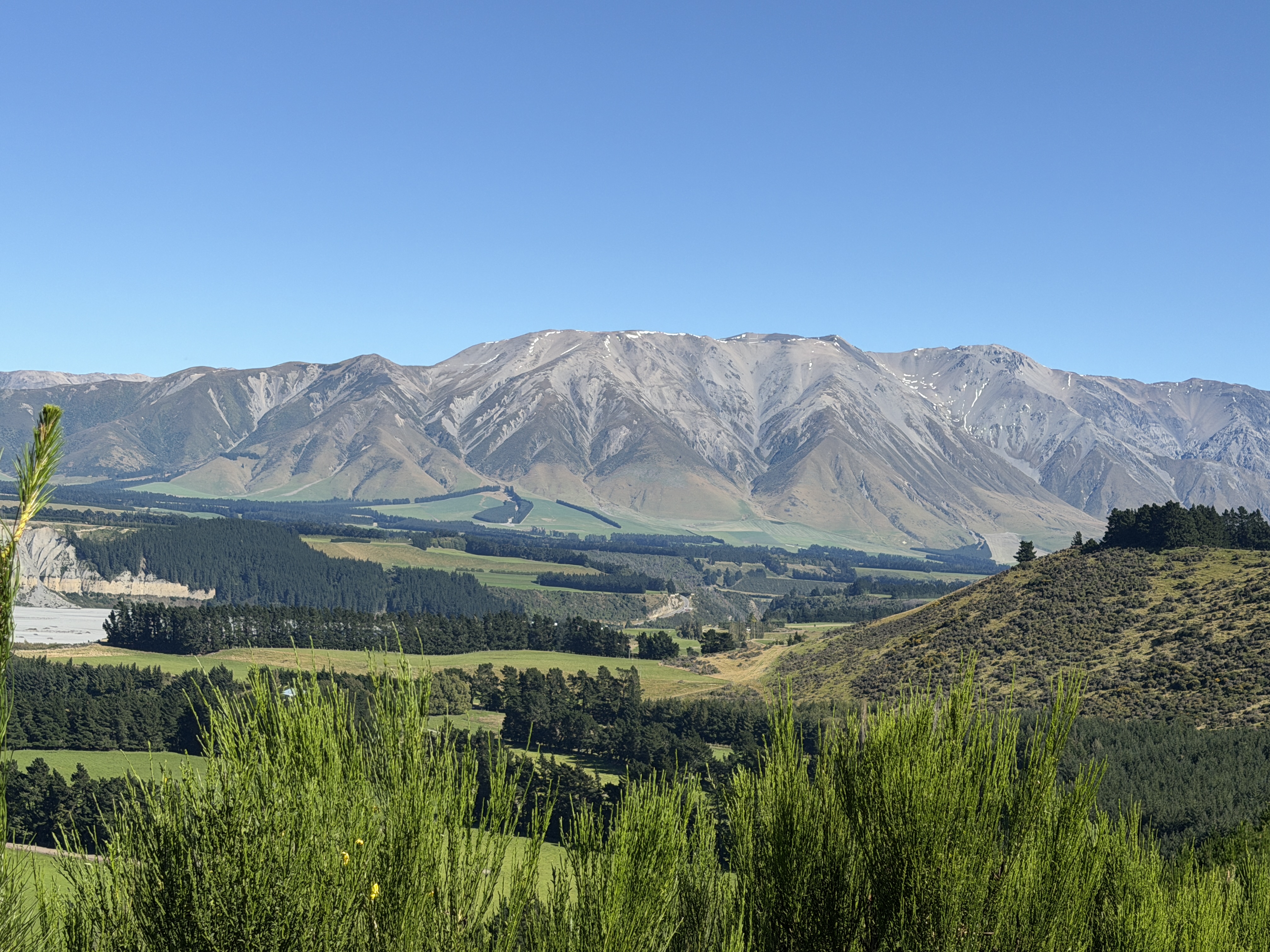
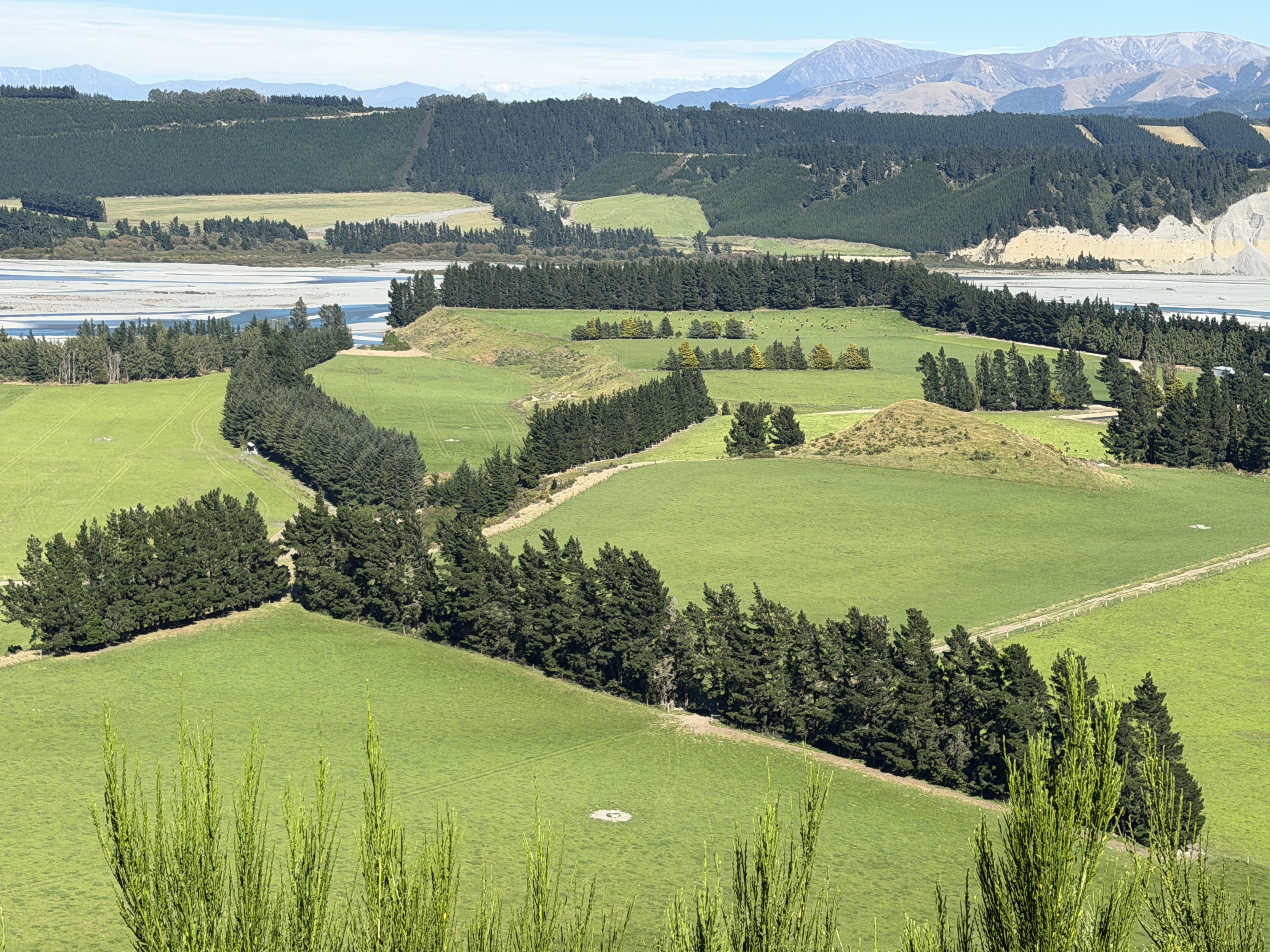
Eventually we got closer to the mountains and came to this valley with farms in it.
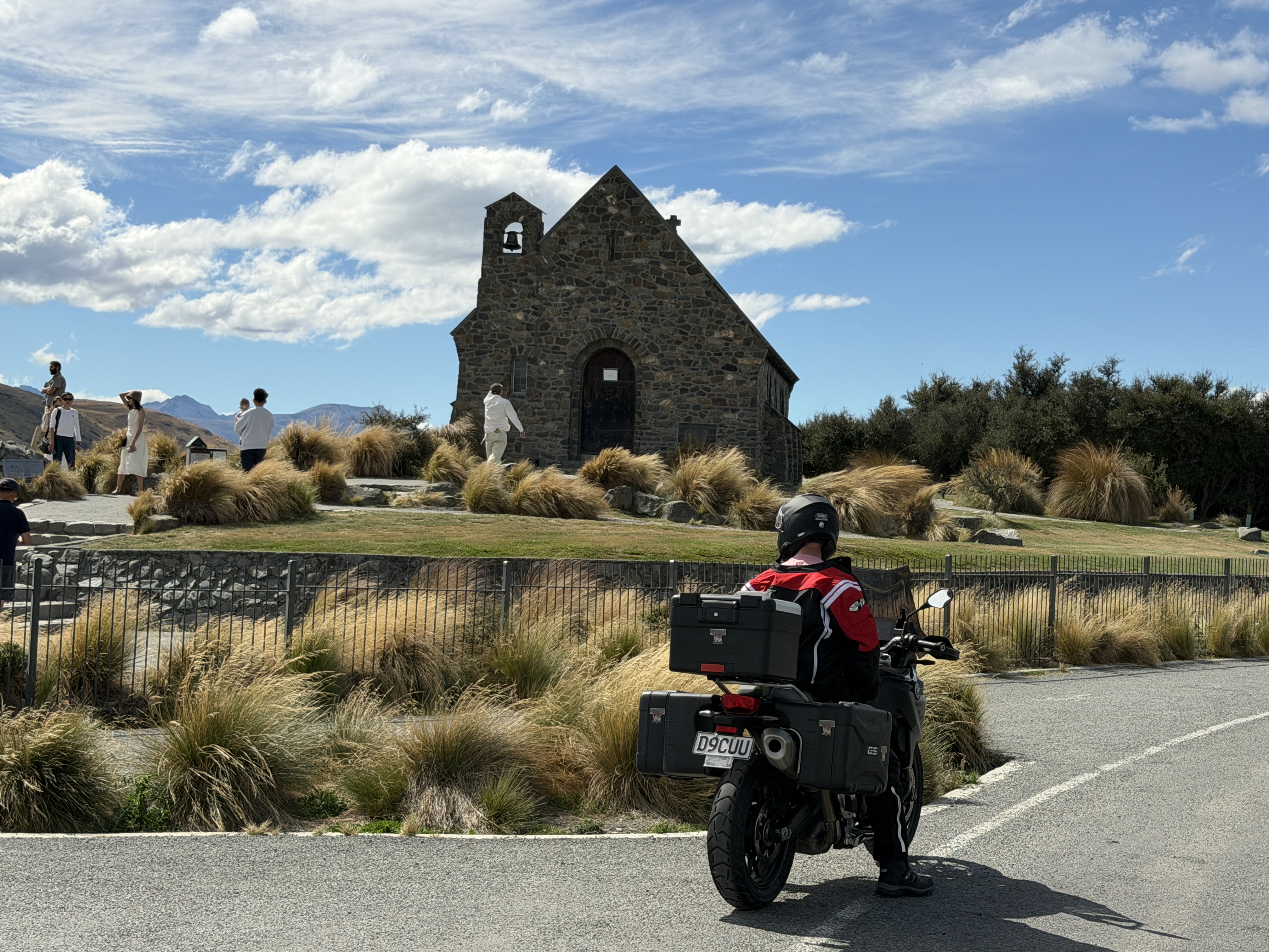
We stopped at an outdoor cafe in the town of Geraldine. After that we began climbing and headed towards the Mt Cook area. We stopped for gas in a small town called Twizel, where we also saw this small church by the lake.
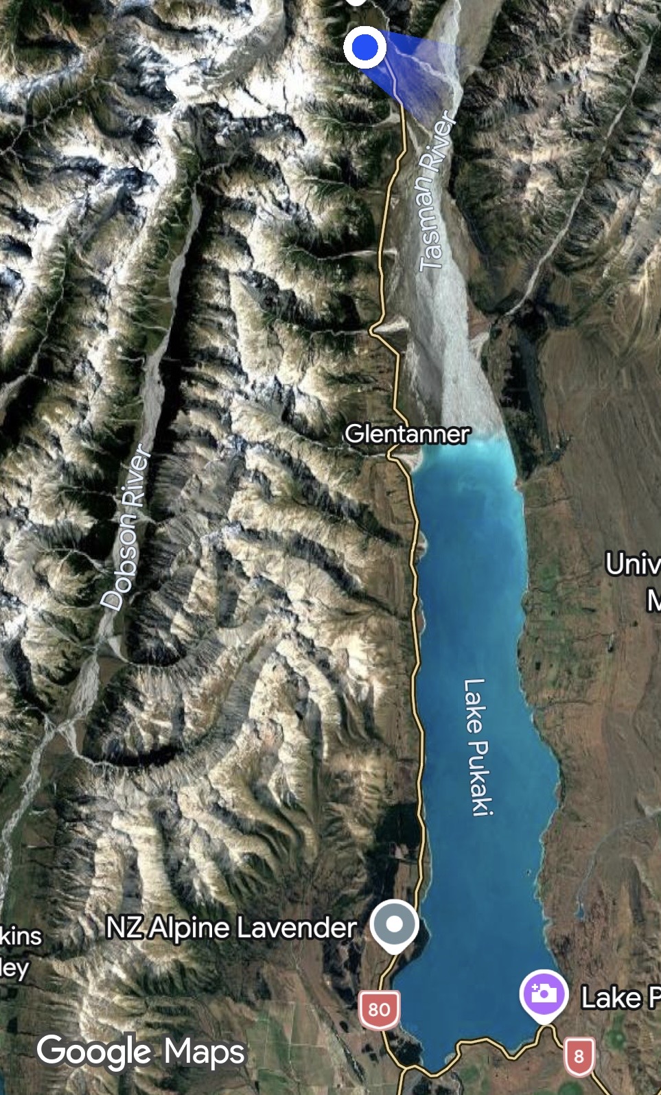
In the map below you can see lake Pukaki which is fed by the Tasman River, which in turn is fed by the glacier on Mt Cook. The blue dot at the top is Mt Cook Villiage where we will be spending the night in the Mt Cook Hotel.
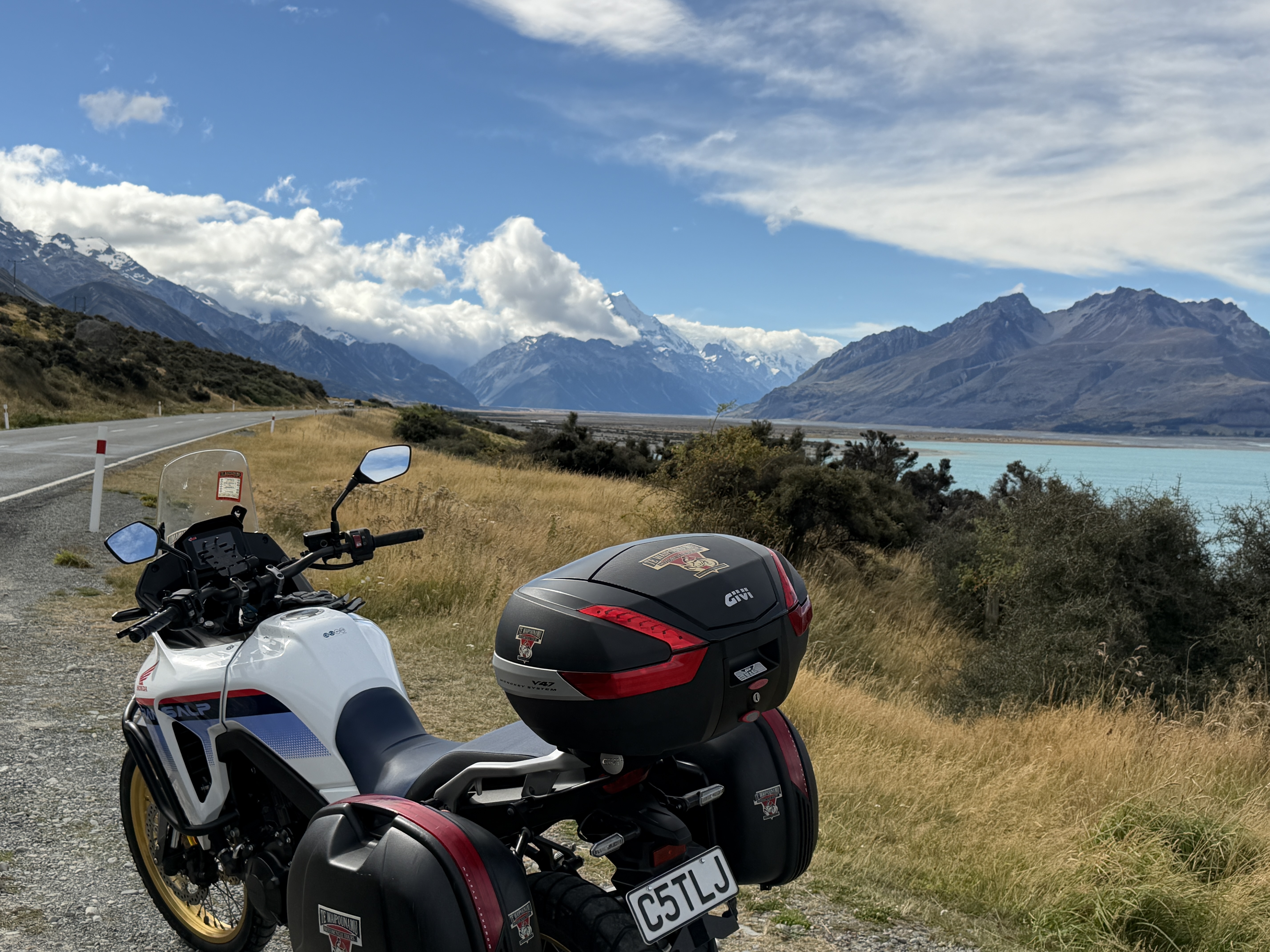
Here are a couple of pics by the lake about half way up as we began to get closer to the mountains and the Mt Cook area.
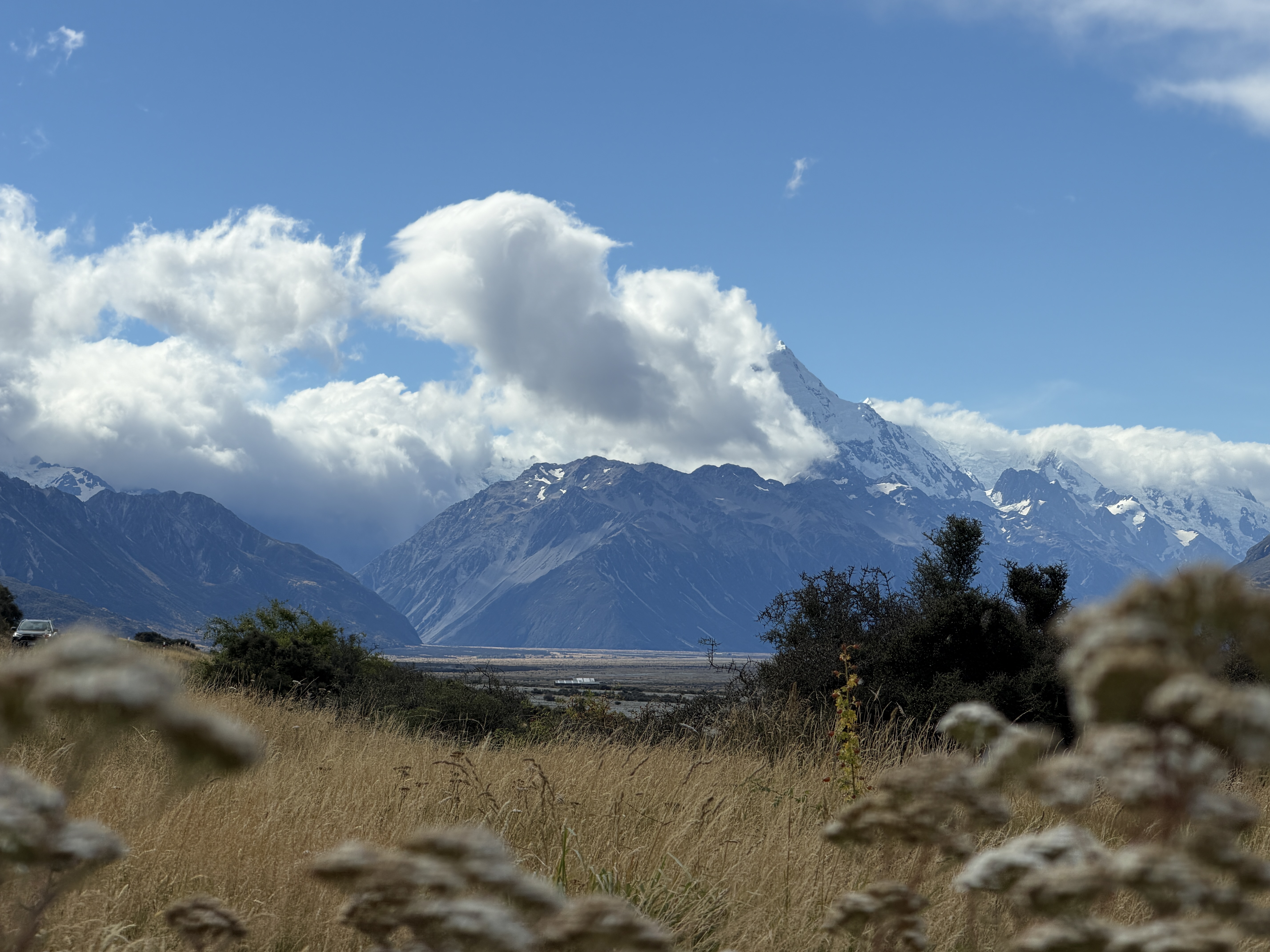
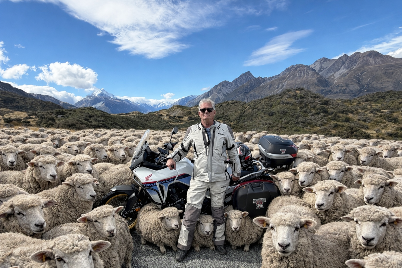
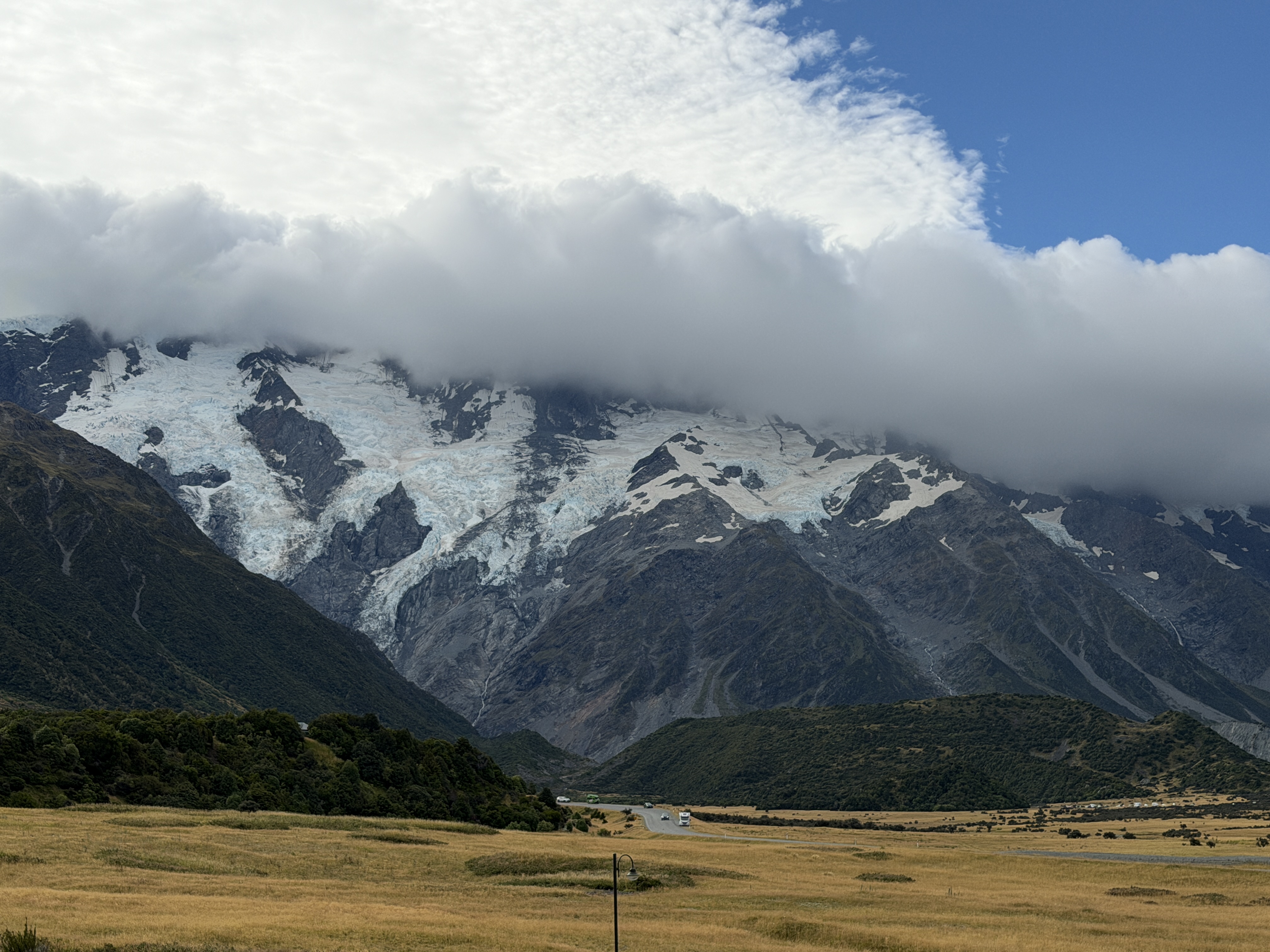
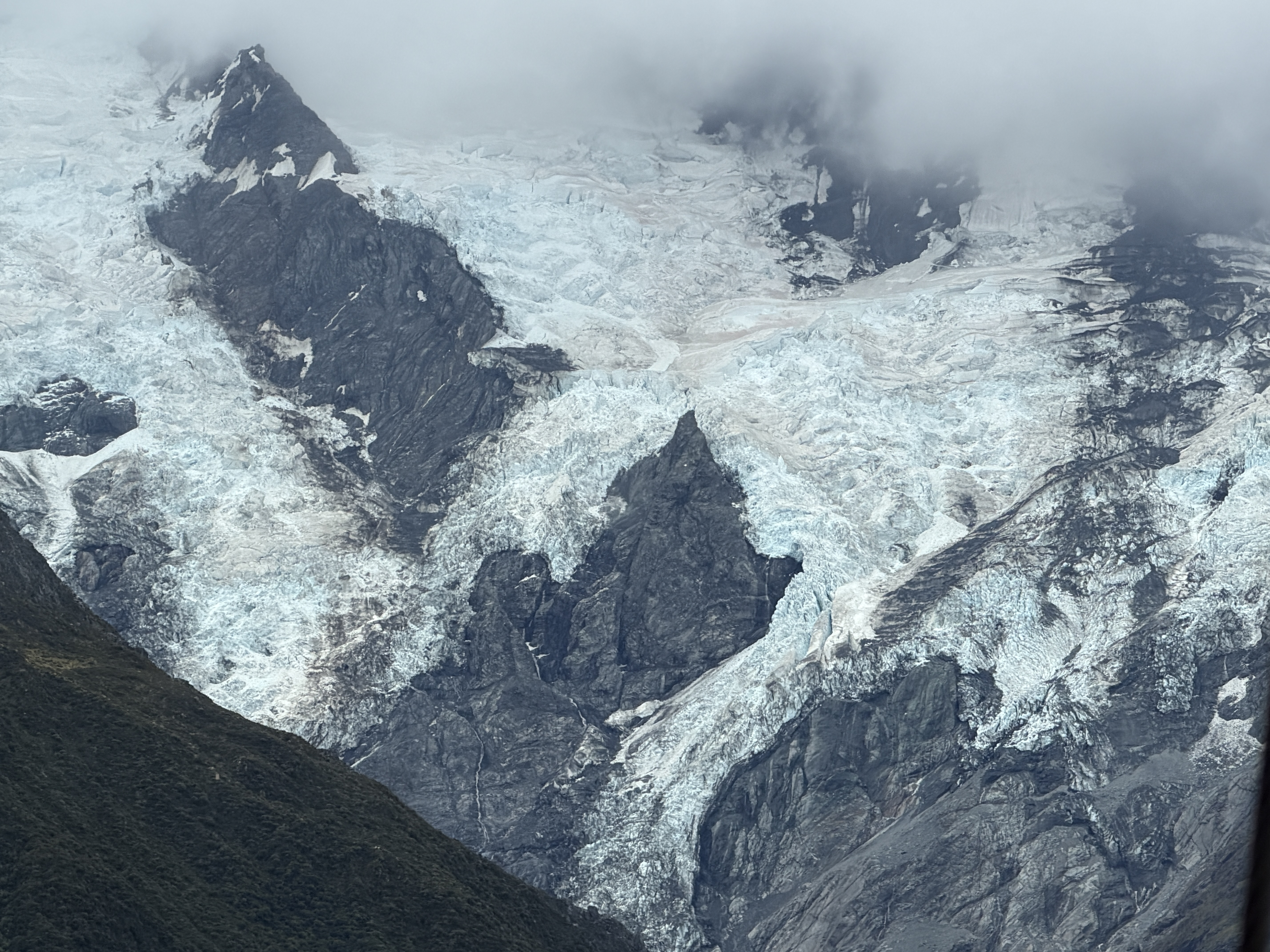
There are a lot of sheep in New Zealand. They are also very friendly. A bit later we arrived at Mt Cook. It rises up right out of the grassy broad valley. The villiage is only about 2,500 feet elevation. The peak is a bit over 12,000 feet. It feels like you can just reach out and touch it.
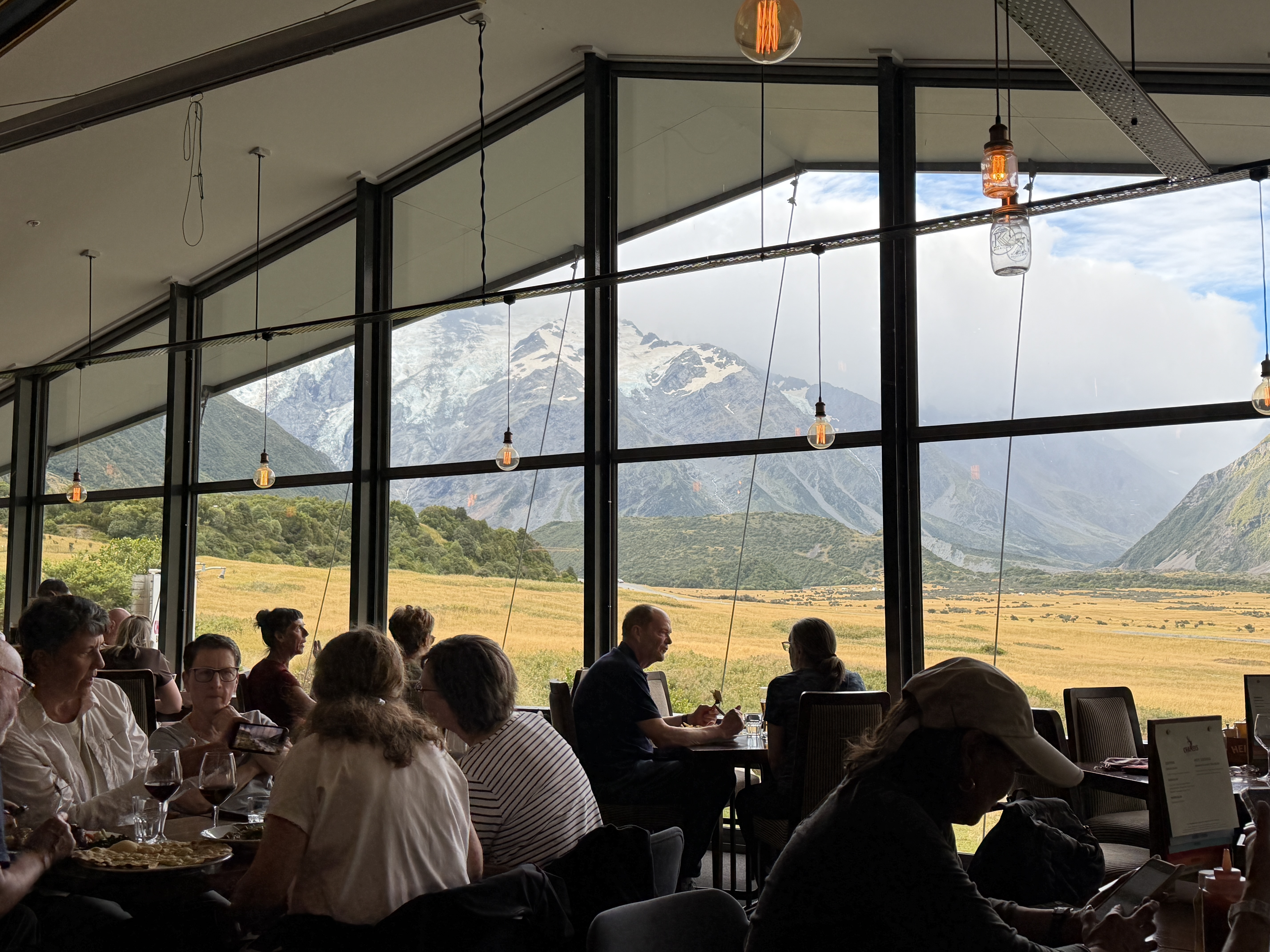
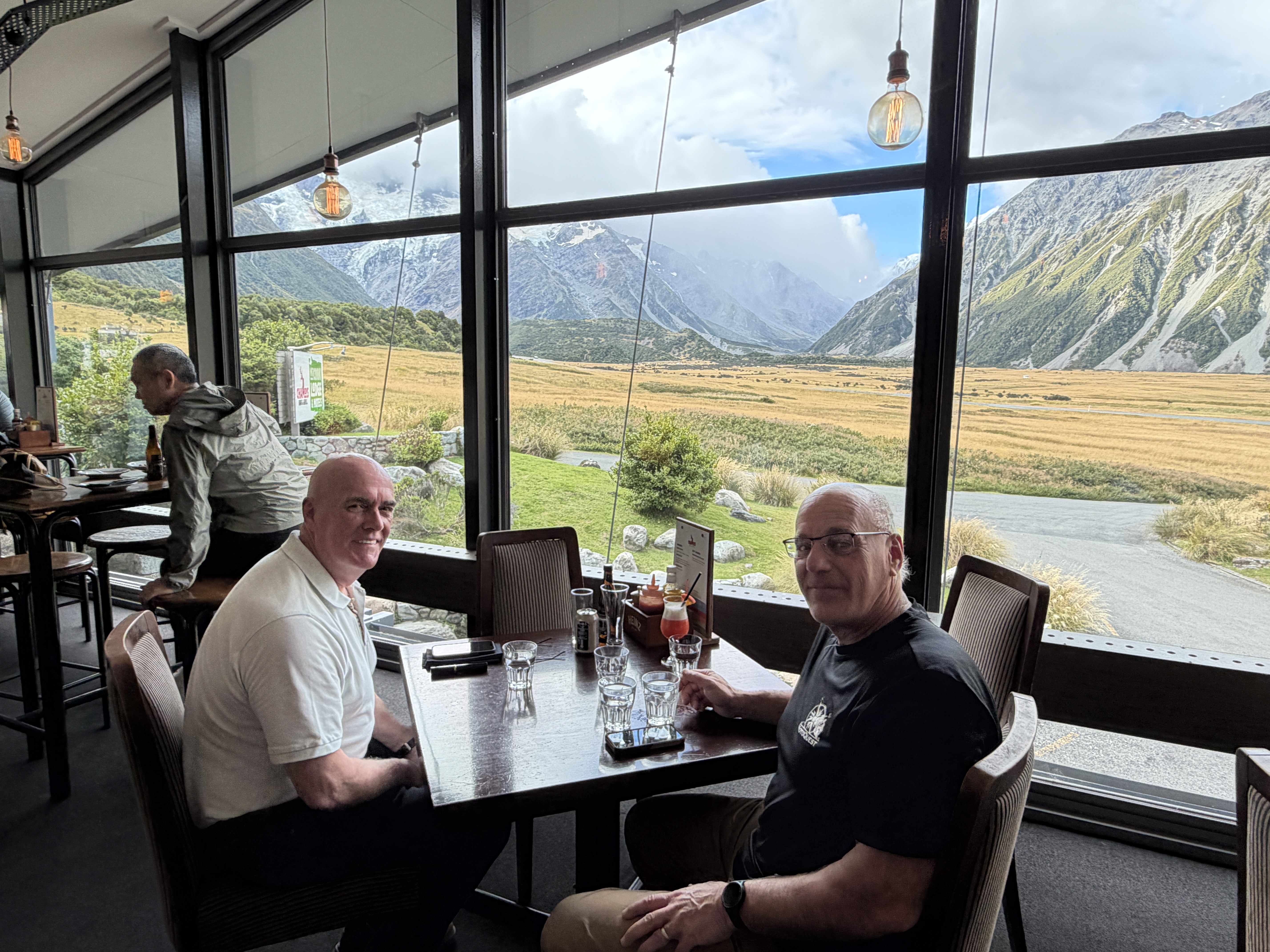
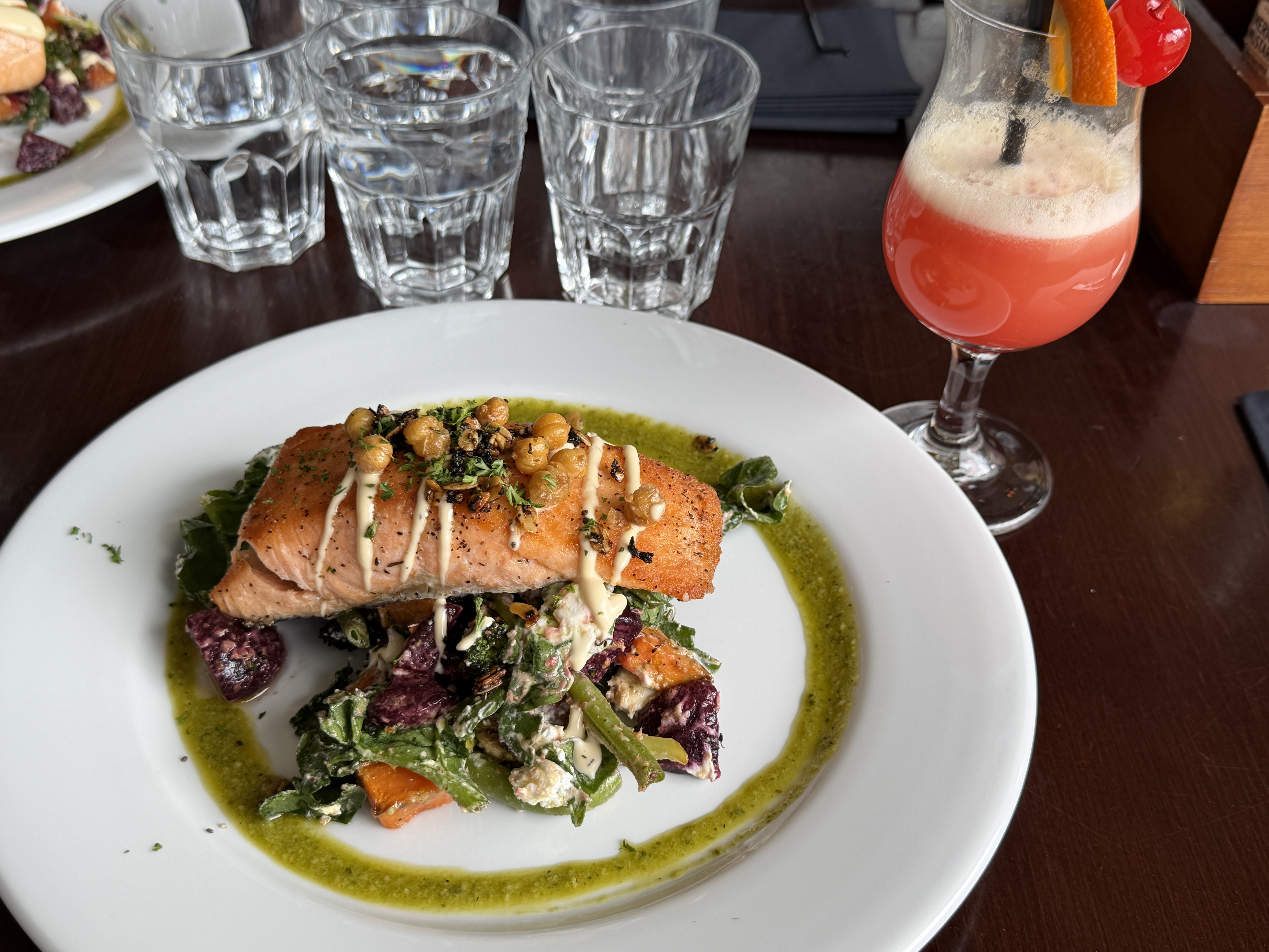
here is the view from the restaurant at the hotel. Quite a view as we ate our dinner of New Zealand Salmon.
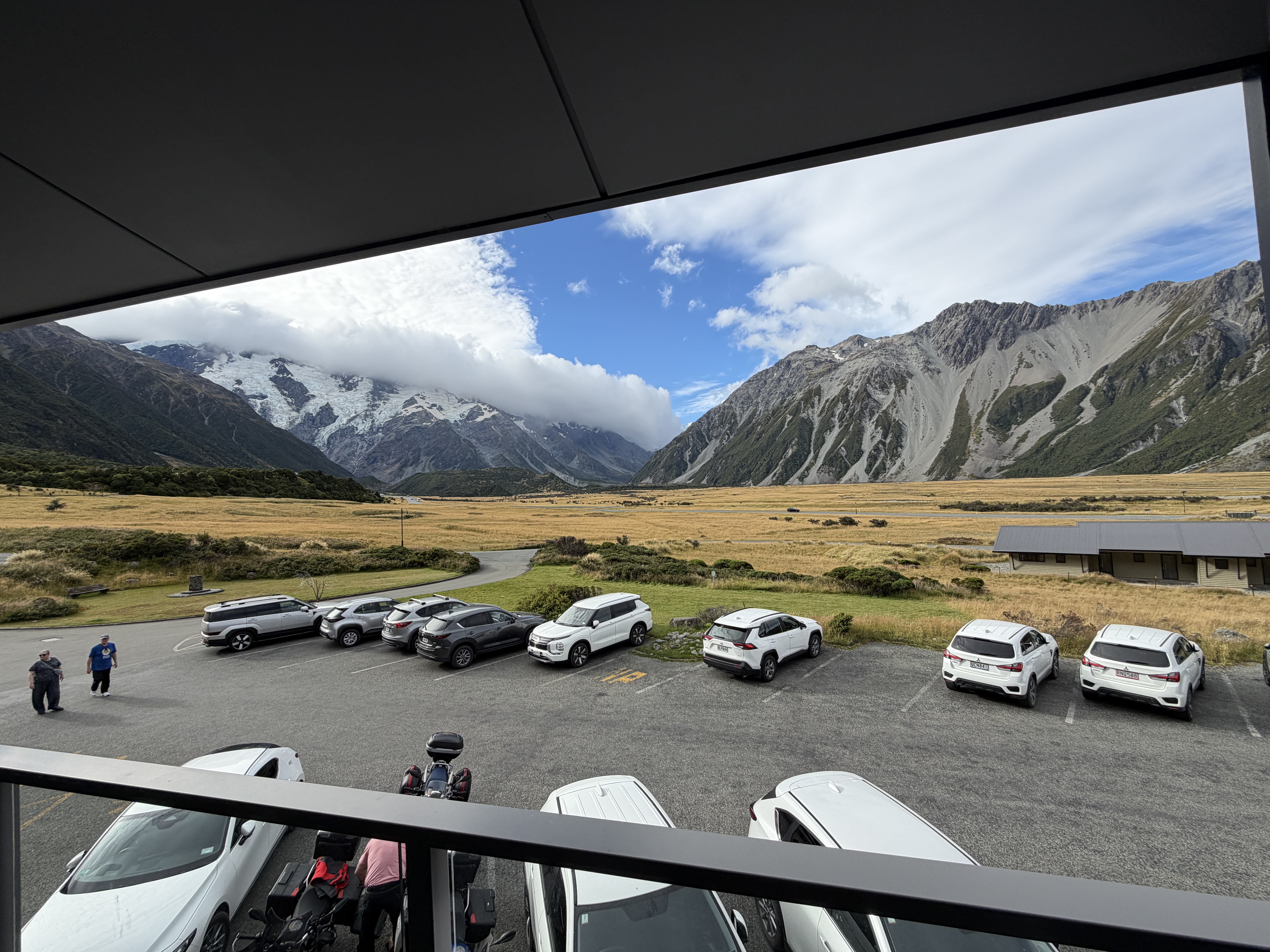
This is the view from the balcony of our hotel room.
If you have read this far, yes the sheep were added to the picture using ChatGPT. I could not resist having some AI fun.